Rundwanderweg des Naturpark Südeifel Nr. 56 - Bollendorf
Bollendorf
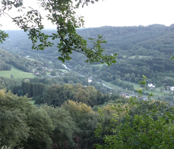
Nature experiences in the rocks and impressive cultural monuments from prehistory to modern times - there is a lot to see on this circular hike!
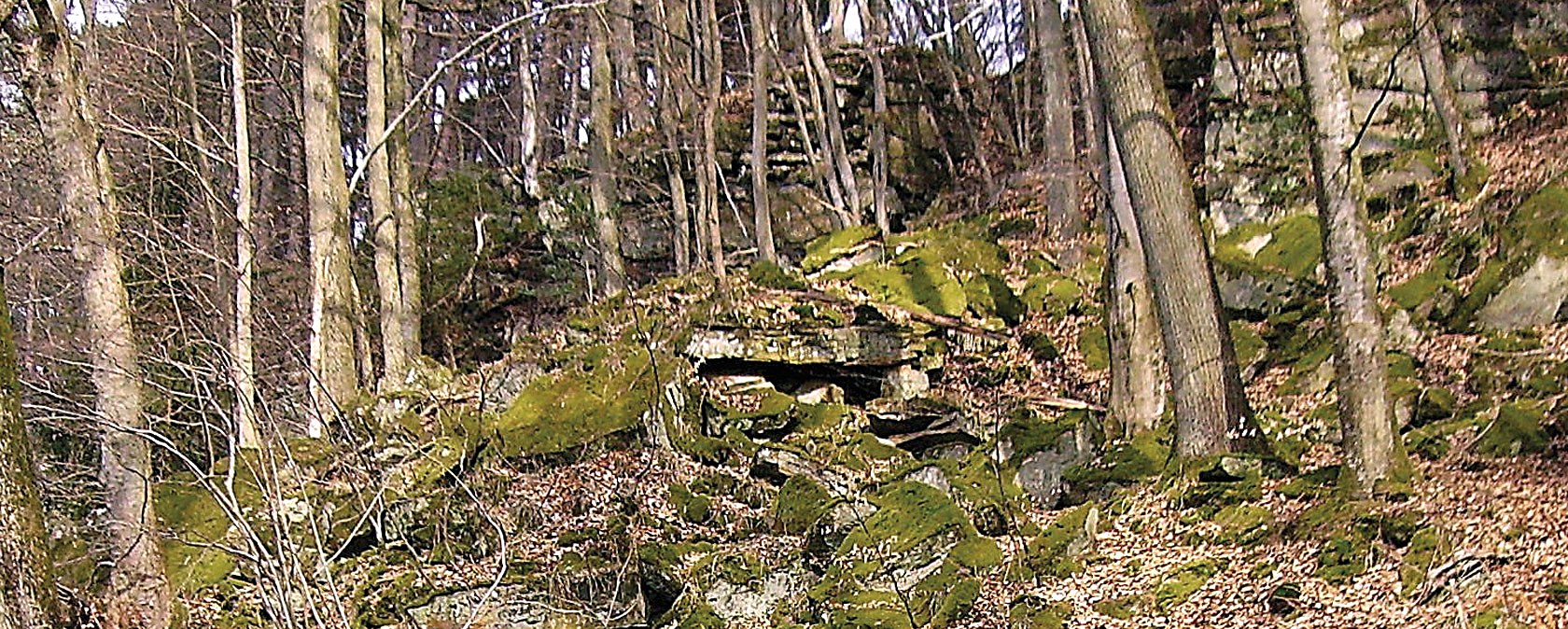
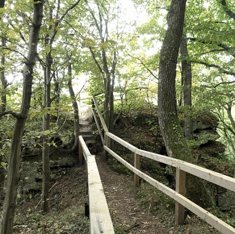
Part of this circular hiking tour above Bollendorf leads through a fairytale world of rocks, and it is no coincidence that this section of the route has been lovingly designed as a fairytale trail for children. In addition to special natural experiences such as the Wolfsschlucht gorge and the Ossenlay, the numerous cultural monuments along the route are particularly impressive - from Stone Age menhirs to stone "Pfaffenköpfe" from modern times:
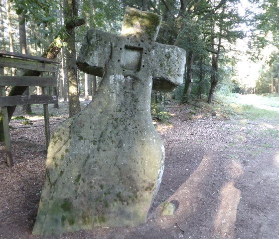
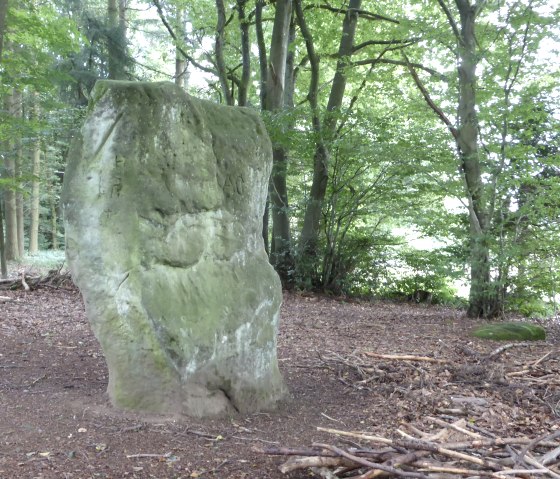
- Fraubillenkreuz - probably an ancient menhir, transformed into a mighty cross; boundary stone for centuries and shrouded in legend
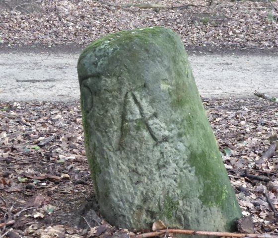
- Druid stone - perhaps also a Neolithic menhir and certainly an ancient boundary marker, also known as a "cornerstone"
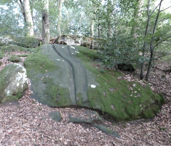
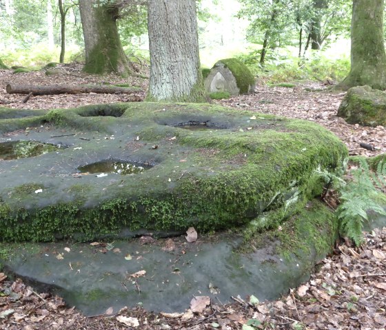
- Ritschlay - characteristic sliding furrows in a sandstone block
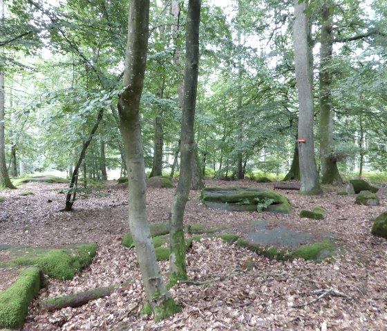
- Gravel tombs - a Gallo-Roman burial site with burial pits dug into the rock and house-shaped covers
- Pfaffenkopf - old boundary marker of Echternach Abbey
Tips:
If you have children, you should take them on the Bollendorf Fairytale Trail, which overlaps with this route in places.
After this hiking tour, you can enjoy a well-earned meal at one of the hosts in Bollendorf.
Marking of the tour:


