Rundwanderweg des Naturpark Südeifel Nr. 39 - Geichlingen
Geichlingen
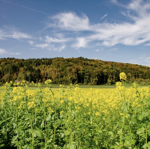
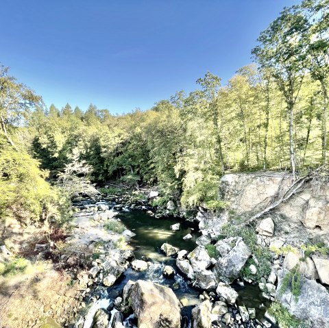
Much of the route leads through wooded areas, but the circular route is nevertheless very varied: the outskirts of Geichlingen with its generous green spaces, orchards, chapels and wayside shrines, the Geichlinger Bach and Gaybach streams, which you will encounter along the way, and the forest paths, which are always slightly uphill or downhill. The play of light between the trees adds to the special atmosphere. And you might even catch a glimpse of a deer or another forest dweller. Hiking trail no. 39 is a lovely little tour for forest lovers.
Marking of the tour:


