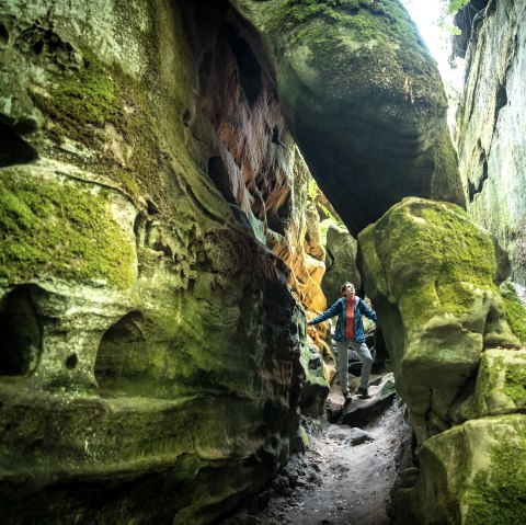
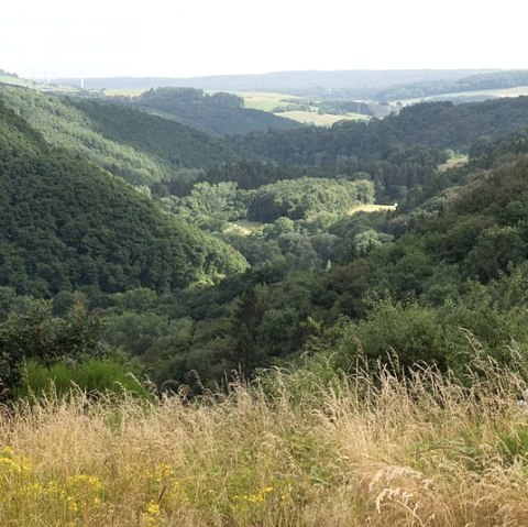
Rundwanderweg R7 der Gemeinden Ammeldingen, Plascheid, Emmelbaum und Heilbach
The start and finish of this circular hiking trail is the village community center in Heilbach.
The trail leads over the "Sotz", past the Ammeldingen sports field through a short section of forest, along asphalt farm tracks to Windhausen and finally back to Heilbach via Wehrhauserhof.
A detailed description of the route can be found here.
Tip: The circular hiking trail R7 can be combined with the circular trails R1 to R6
Marking of the tour:


