Rundwanderweg des Naturpark Südeifel Nr. 68 - Minden-Echternacherbrück
Minden
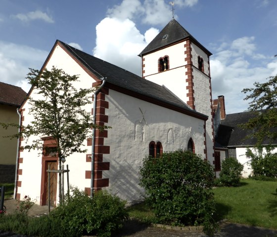
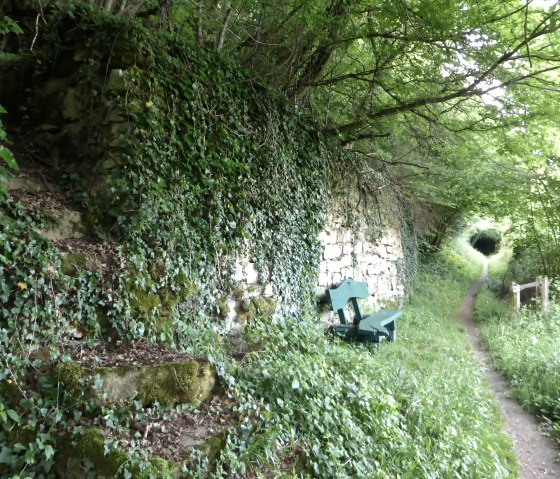
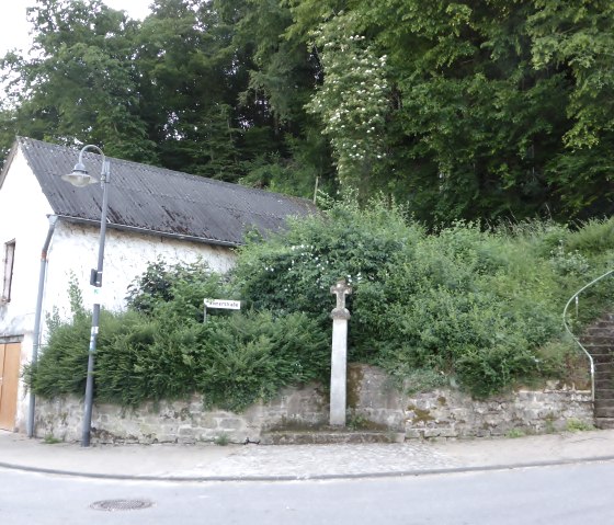
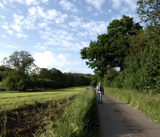
The almost 6-kilometre circular hike takes you in a south-westerly direction along the cliff edge above the Sûre and across the plateau between Minden and Echternacherbrück. We recommend walking the route in a clockwise direction. Start the tour in the center of Minden at the church. A little above, past the Ferring inn, you will find the trail markings on Römerstraße: The red "68" on a white background.
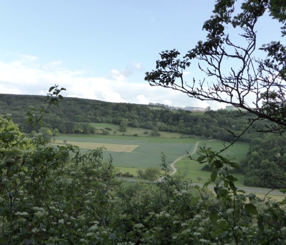
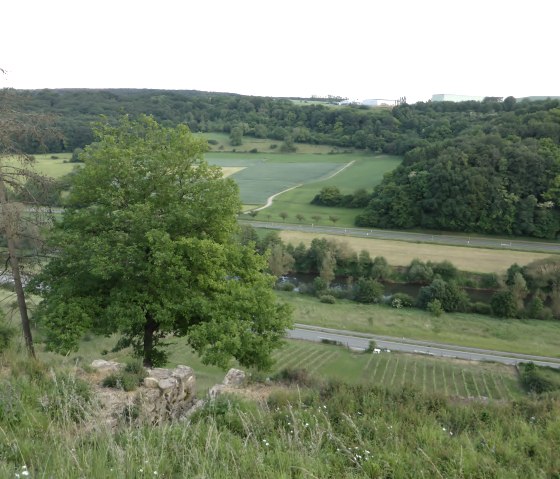
The warm, dry slopes below the limestone cliffs known as the "Mindener Layen" are a special biotope where rare wild orchids thrive. The former vineyard terraces are no longer used today, with one exception. In a small vineyard, which you can see from above, wine has been cultivated again for several years. Between the hedges and trees on the edge of the slope, you will notice the old vines that still grow there.
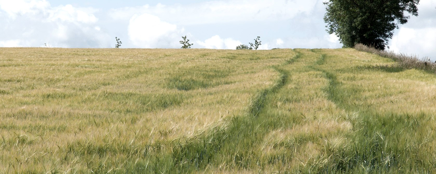
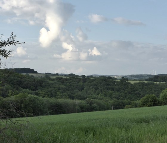
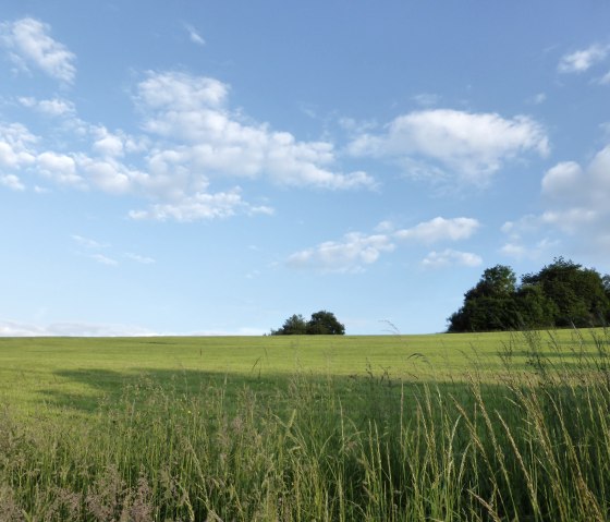
From the plateau above Minden, you have sweeping views in all directions: To the north-west to the Ferschweiler plateau, to the north-east as far as the heights near Eisenach, which are dotted with wind turbines. Numerous blown-up bunkers to the left and right of the path, relics of the Westwall, are a reminder that American troops invaded German territory via the Sauer in 1944.
Marking of the tour:


